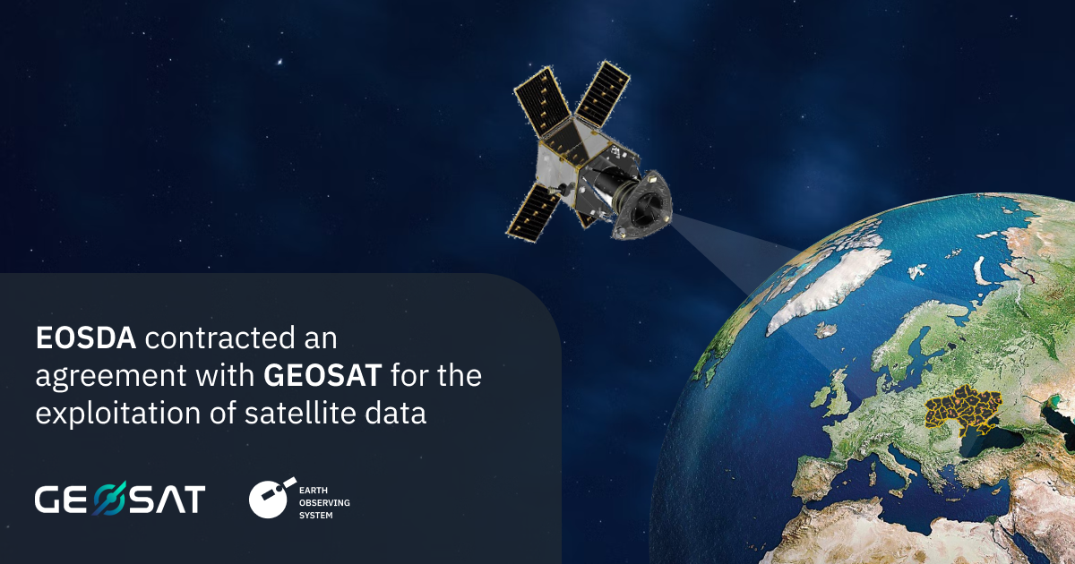
Ukraine has de facto acquired a multispectral optical satellite that makes it possible to receive special satellite data from GEOSAT 2.
Considering the risks of the information agenda in the context of military aggression, it was noted that the announcement that the parties had reached an agreement was only now made public.
GEOSAT 2 became the first satellite to transmit operational observation data on the territory of Ukraine for use only by our country.
The satellite is in orbit and allows receiving ultra-high resolution data previously inaccessible to Ukraine.
It also allows you to take photos at a distance of 100 km from the Ukrainian state borders. Thus, Ukraine intensified orbital surveillance of its territory.
“The strategic partnership between EOS and GEOSAT 2 strengthens Ukraine’s space intelligence potential and helps increase the effectiveness of the country’s defense, and also improves the quality of data collection on the losses caused by Russian military aggression to the population and economy. The data can also be used to address challenges in agriculture, forestry and other sectors.”
The GEOSAT 2 system provides high-quality and cost-effective services to customers all over the world.
The satellite operates in a synchronized orbit at an average altitude of 620 km with a local rise time (LTAN) of 10 hours and 30 minutes, resulting in data acquisition worldwide with an average repeat frequency of two days (one day in the middle). latitudes).


