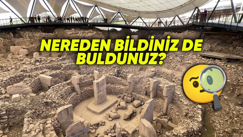
Even though sometimes there is luck, of course a range of methods and technologies is also involved.
throughout the process discovery and preservation of historical ruins Let’s delve a little deeper into how archaeologists, who put a lot of effort into the process, work.
Surface surveys and geographic information systems are used.

Archaeologists to identify the excavation site Firstly, the surface research They start with . They systematically scan a specific area and collect ruins and artifacts that can be seen on the surface.
Of course this is also a matter of luck. However, when determining potential excavation areas “geographical area systems” They use it too. In this way, the topographical and geographical data of the region are analyzed.
The system they use analyzes the events in the region by performing spatial analysis. By implementing topographical changes provides detailed information.
Geophysical methods and GPR technology are also part of their work.

Geophysical methods are also effective in determining the area. ground radar In other words, Ground Penetrating Radar (GPR) technology detects structures underground.
G.P.R., by transmitting radio waves It identifies remains such as graves and building foundations. In this way, structures beneath the area to be excavated are identified and very effective guidance is provided to archaeologists.
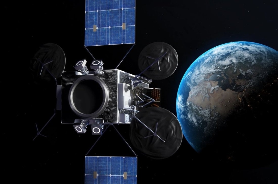
Another technological method is remote sensing. lidar technology Thanks to laser beams, structures underground are detected. Lidar technology delivers effective results, especially in wooded and densely vegetated areas. In addition, large areas are scanned thanks to satellite images and aerial photographs.
There are also methods used outside of technology.

Ancient maps, written documents and information obtained from local people are also very important sources for archaeologists. local peopleIt facilitates the work of archaeologists by providing valuable information in identifying ancient structures and events in the region.
It doesn’t stop there.
Geology and archeology merge. Soil and sediment analysis Past human activities and environmental conditions are revealed. Archaeologists are guided in the identification of ancient settlements by analyzing soil samples.
For example in the soil phosphate levels Thanks to this, the density of human settlements can be understood.
As you can see, archaeologists take a multifaceted approach when determining which areas to excavate. These disciplines carry traces from the past into the present. Our cultural heritage is protected.
Sources: The Conversation, Discover Magazine, Habits of A Traveling Archaeologist
You can also check these:
Follow Webtekno on X and don’t miss the news


